Features
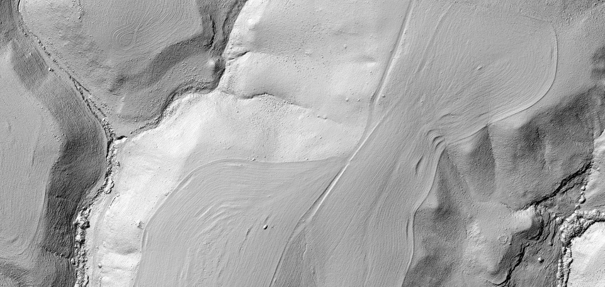
Orthomosaics and Surface Models
Mavis provides high resolution digital surface models and orthomosaics
Digital Surface Models are the basis for generating the orthomosaics. They can be generated at coarser resolutions - compared to the orthomosaics - of 1/2, 1/4th, and 1/8th if required.
Digital Surface Models are stored as SAGA GIS raster datasets. Hillshade models and Orthomosaics are stored as lossless .png image files.
Georeferencing
Mavis provides precise georeferencing
Precise georeferencing is realized using a combination of Ardupilot log file analysis and a specific CHDK script for Canon cameras. This combination allows to account for shutter delays with a precision of 10ms. It is also possible to handle missing images.
Data is projected to UTM.
For non CHDK enabled cameras the camera trigger information can be used for georeferencing. Images which are already geotagged can be used as well.
Color calibration
Mavis provides color calibration using the X-Rite ColorChecker® Classic
Color calibration is required for consistent analysis of vegetataion indices as well as to adjust the white balance for scientific interpretation. Mavis provides calibation regadring the white balance or reflectance values for RGB data as well as different filters for converted cameras (RGN | red filter, NGB | blue filter, NGN | Agrowing NIR)
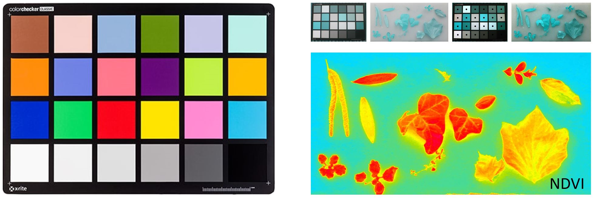
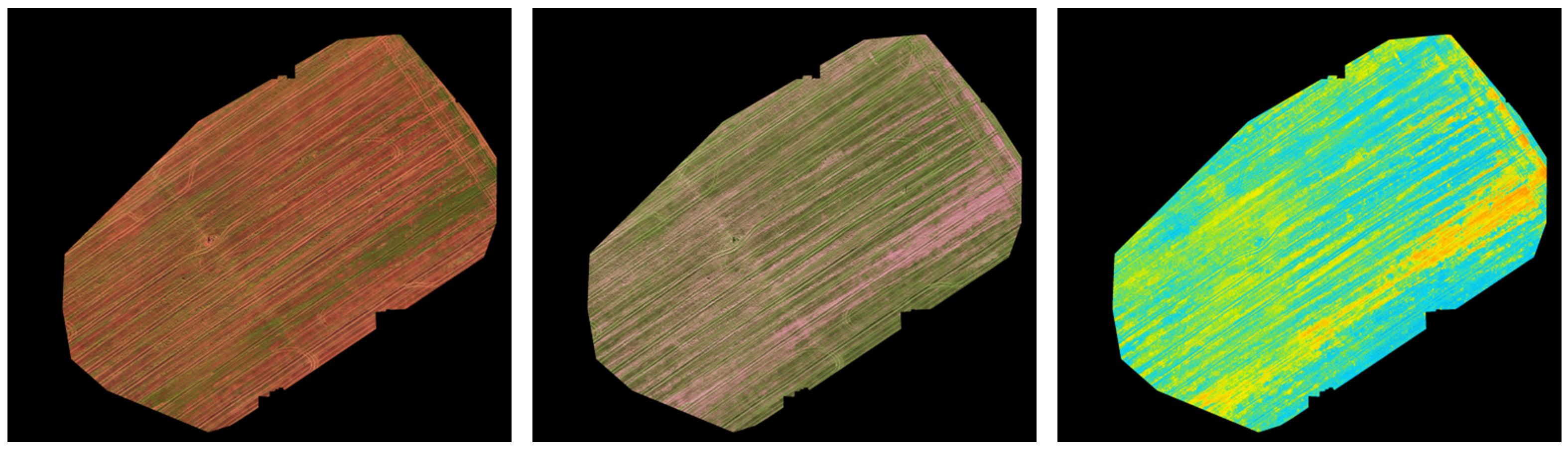
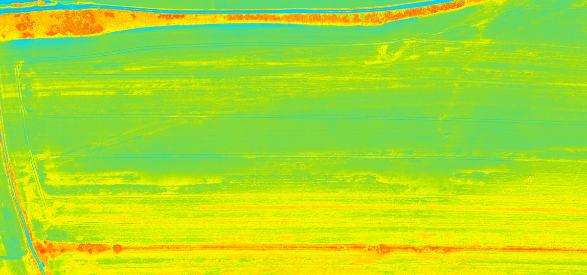
Vegetation Indices
Mavis calculates Vegetation Indices based on single and dual camera setups
For single camera setups the filter type can be selected. Blue filters are the Schott BG3 or the Event38 NGB. Red is for filters are the Wratten 25 or similar but also dual band filters like the MidOpt 660/850.
All indices are provided as *.TIF image files with a specific legend applied as well as raw data in SAGA GIS grid format for further processing in a GIS.
Look-up-tables can be used to apply individual color schemes.
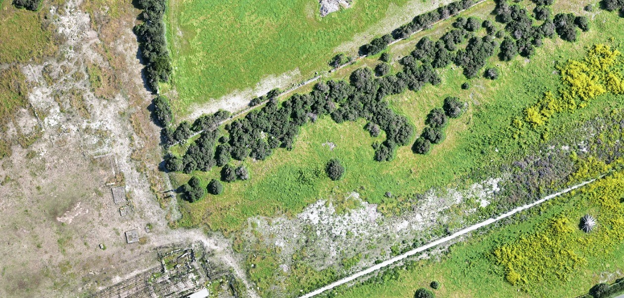
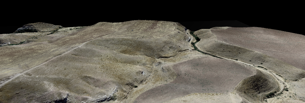
Reports
Mavis generates HTML reports and 3D WebGL models
HTML reports can be generated after the DSM and the Orthomosaic are generated. The reports provide information about the flight, the mapping results and can be used to share the data.
A 3D WebGL model is generated and linked to the report. This is valuable for interpreting the data and to showcase the results.
An example of an archeological survey can be found here.
Color Manipulation
Mavis provides several color manipulation and image filters
Orthomosaics often need further processing for scientific analysis or interpretation purposes. Hence, Mavis provides tools to enhance (e.g. white balance) and to manipulate colors (e.g. decorrelation stretch). Spatial filters can be used to remove noise. This is especially useful to remove shading artifacts of soil surfaces before further processing.

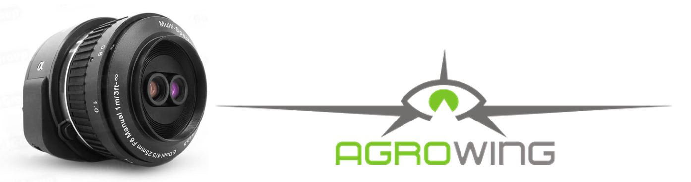
Agrowing QX1 support
Mavis provides full support for the Agrowing QX1 camera
Based on the dual-lens images Mavis generates two exactly matching Orthomosaics - one for the narrow band RGB lens and one for the NIR lens. These can be used to derive vegetation indices using the dual camera option in Mavis.